11 - 20 of 30 results

Antoon van den Wijngaerde, pintor de ciutats i de fets d'armes a l'Europa del Cinc-cents
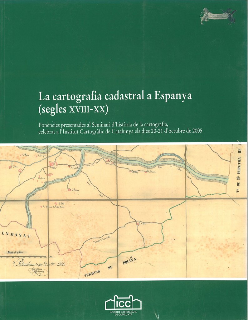
Latest copies available

23.11 / unit(s)
Delivery weight: 1,006 g


Available delivery methods: Registered mail, Registered mail, Registered mail

Montserrat Galera i Monegal. Year 1998
Collection Catalogs of the Institut Cartogràfic i Geològic de Catalunya. Issue 6

Download the digital version in PDF PDF


We also recommend


Browse this category: Books about the history of cartography

La cartografia cadastral a Espanya (segles XVIII-XX)

Latest copies available

12.50 / unit(s)
Delivery weight: 650 g


Available delivery methods: Registered mail, Registered mail, Registered mail

Papers presented at the Seminar on the history of cartography, held at the Institut Cartogràfic de Catalunya on 20-21 October 2005.

We also recommend

Cartografia de Catalunya i dels Països Catalans
9.62 / unit(s)
Delivery weight: 367 g
Cartografia Peninsular (s. VIII-XIX)
12.50 / unit(s)
Delivery weight: 532 g

Customers who bought this product also bought

Delivery weight: 1,216 g
Delivery weight: 1,470 g

Browse this category: Books about the history of cartography

Introducció general a la història de la cartografia. Cicle de conferències sobre Història de la Cart

Latest copies available

10.58 / unit(s)
Delivery weight: 256 g


Available delivery methods: Registered mail, Registered mail, Registered mail

This volume corresponds to the first course on the history of cartography, expected to celebrate in six sessions of ten hours each, and on an annual basis. Is devoted to the topic General introduction to the history of cartography, and it is structured in three parts:

  • Les obres de referència i la investigació. El cas concret de la història de la cartografia, by Montserrat Galera.
  • Les collections de cartes. Leur passé et leur avenir, by Monique Pelletier.
  • Introduction to the history of cartography, by Eila Campbell.

Each part corresponds to the text of scheduled conferences and the volume is presented illustrated with films related to the topic.

We also recommend

Cartografia de Catalunya i dels Països Catalans
9.62 / unit(s)
Delivery weight: 367 g
Cartografia Peninsular (s. VIII-XIX)
12.50 / unit(s)
Delivery weight: 532 g
La cartografia cadastral a Espanya (segles XVIII-XX)
12.50 / unit(s)
Delivery weight: 650 g

Customers who bought this product also bought

Delivery weight: 486 g
Delivery weight: 872 g
Delivery weight: 166 g
Delivery weight: 134 g
Això és la cartografia
5.77 / unit(s)
Delivery weight: 114 g

Browse this category: Books about the history of cartography

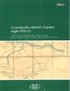
La cartografia italiana. Cicle de conferències sobre Història de la Cartografia. 3er curs

Latest copies available

12.50 / unit(s)
Delivery weight: 439 g


Available delivery methods: Registered mail, Registered mail, Registered mail

This book contains the lectures of the third course on the history of cartography, part of a six seminars held annually. This is dedicated to Italian cartography and consists of five parts

  • La cartografia italiana nel Medio Evo e nel Rinascimento, by Marica Milanesi.
  • Cartografia e politica territoriale nella Repubblica di Venezia (secoli XIV-XVIII), by Emanuela Casti Moreschi.
  • Cartografia e uso del territorio in Italia. La Toscana fiorentina e lucchese, realtà regionales rappresentativa dell'Italia centrale, by Leonardo Rombai.
  • Atlanti italiani dall'invenzione della stampa all'affermazione della litografia, by Vladimiro Valerio.
  • La cartoteche in Italia. Il patrimonio cartografico italiano: cenni sulla sua consistenza e conservazione, by Leonardo Rombai.

The two previous courses were devoted to the general introduction to the history of cartography (January 1990) and Mapping of the Iberian Peninsula and its extension to the Americas (February 1991), both published by the Institut Cartogràfic de Catalunya in the same collection.

We also recommend

Cartografia de Catalunya i dels Països Catalans
9.62 / unit(s)
Delivery weight: 367 g
Cartografia Peninsular (s. VIII-XIX)
12.50 / unit(s)
Delivery weight: 532 g
La cartografia cadastral a Espanya (segles XVIII-XX)
12.50 / unit(s)
Delivery weight: 650 g

Browse this category: Books about the history of cartography

La cartografia dels Països Baixos. Cicle de conferències sobre Història de la Cartografia. 4rt curs

Latest copies available

12.50 / unit(s)
Delivery weight: 476 g


Available delivery methods: Registered mail, Registered mail, Registered mail

This volume contains the lectures by Dirk de Vries, Library of the University of Leiden, Peter van der Krogt, researcher on history of cartography at the University of Utrecht and Jan Smits, Koninkliijke Bibliotheek at the Hague, on occasion of the celebration of the fourth course on the history of cartography dedicated to Cartography of the Netherlands.

The course outline is as follows:

  • Official cartography in The Netherlands, by Dirk de Vries.
  • Commercial cartography in the Netherlands with particular reference to atlas production (16th-18th centuries), by Peter van der Krogt.
  • For pleasure and support (bis dat qui cito dat), by Jan Smits.

We also recommend

Cartografia de Catalunya i dels Països Catalans
9.62 / unit(s)
Delivery weight: 367 g
Cartografia Peninsular (s. VIII-XIX)
12.50 / unit(s)
Delivery weight: 532 g
La cartografia cadastral a Espanya (segles XVIII-XX)
12.50 / unit(s)
Delivery weight: 650 g

Browse this category: Books about the history of cartography

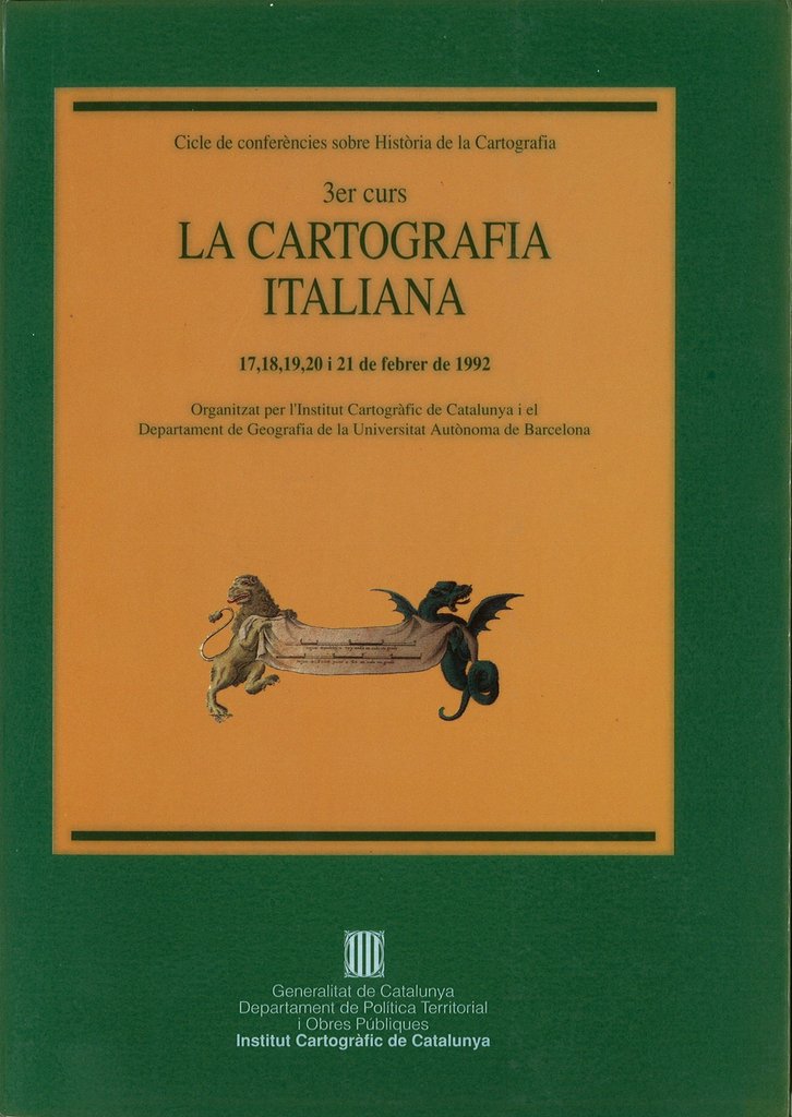
La cartografia francesa. Cicle de conferències sobre Història de la Cartografia. 5è curs

Latest copies available

12.50 / unit(s)
Delivery weight: 322 g


Available delivery methods: Registered mail, Registered mail, Registered mail

This volume contains the lectures by Monique Pelletier, archivist and head of the Département de Cartes et Plans of the National Library of France, Philippe Prost, architect and professor at the School of Architecture Paris-Belleville, and Gilles Palsky, geographer and professor at the University of Paris XII, on the occasion of the celebration of the fifth course on the history of cartography dedicated to French cartography.

The topics are:

By Monique Pelletier:

  • Des cartes pour partager: Divisions administratives, frontières, plans terriers du 16e au 18e siècle.
  • Des cartes pour communiquer: De la localisation des étapes, a la figuration du parcours 17e-18e siècles
  • Le monde vu de France: Évolution du 16e au 18e siècle.
  • Cartographie nationale, cartographie régionale: De Ptolémée à Cassini.

By Philippe Prost:

  • La cartographie militaire française (I): Du plan au plan en relief (XVIIe-mi XVIII).
  • La cartographie militaire française (II): Du plan nivelé au plan à courbes de niveau (mi XVIIIe-mi XIXe).

By Gilles Palsky:

  • Les "Cartes de Guerre" sous le Consulat et l'Empire.
  • Aux origines de la cartographie thématique: Les cartes speciales avant 1800.
  • Les développements de la cartographie statistique au XIXe siècle.

We also recommend

Cartografia de Catalunya i dels Països Catalans
9.62 / unit(s)
Delivery weight: 367 g
Cartografia Peninsular (s. VIII-XIX)
12.50 / unit(s)
Delivery weight: 532 g
La cartografia cadastral a Espanya (segles XVIII-XX)
12.50 / unit(s)
Delivery weight: 650 g

Browse this category: Books about the history of cartography

La cartografia dels països de parla alemanya. Cicle de conferències sobre Història de la Cartografia

Latest copies available

12.50 / unit(s)
Delivery weight: 490 g


Available delivery methods: Registered mail, Registered mail, Registered mail

This volume summarizes the lectures by Wolfgang Scharfe, attached to the Freie Universität Berlin as a teacher and member of the Institut für Geographische Wissenchaften and member of various committees; Ingrid Kretschmer, professor of cartography at the Department of Geography, University of Vienna, member of various committees and vice president of Austrian Geographical Society, and Hans-Uli Feldmann, chief cartographer of the Federal Office of Topography of Wabern, professor of cartography at the Technical College of Berne, editor of Cartographica Helvetica. Fachzeitschrift für Kartengeschichte and member of the Swiss Society of Cartography, on the occasion of the celebration of the fifth course on the history of cartography dedicated to Cartography of the German-speaking countries –Germany, Austria and Switzerland-.

The topics are:

  • Approaches to the history of cartography in German-speaking countries.
  • Cartography in German between the Renaissance and the 18th century. Regional development and atlas cartography.
  • Surveys of German territories from the late 18th to the early 20th centuries.
  • Thematic cartography and atlas cartography in German in the 19th and early 20th centuries.
  • Map collections and map librarianship in Germany.

By Wolfgang Scharfe.

  • The development of Austrian cartography. Cartographic representation of Austrian territories.

By Ingrid Kretschmer.

  • Central European territories on medieval maps and charts.
  • Cartography in Switzerland, 15th to 18th century.
  • Official survey and first national map series of Switzerland, 19th century.
  • Thematic mapping and the development of cartographic techniques in Switzerland.
  • Map publishers, map collections and documentation, electronic information and map archives in Switzerland.

By Hans-Uli Feldmann.

We also recommend

Cartografia de Catalunya i dels Països Catalans
9.62 / unit(s)
Delivery weight: 367 g
Cartografia Peninsular (s. VIII-XIX)
12.50 / unit(s)
Delivery weight: 532 g
La cartografia cadastral a Espanya (segles XVIII-XX)
12.50 / unit(s)
Delivery weight: 650 g

Browse this category: Books about the history of cartography

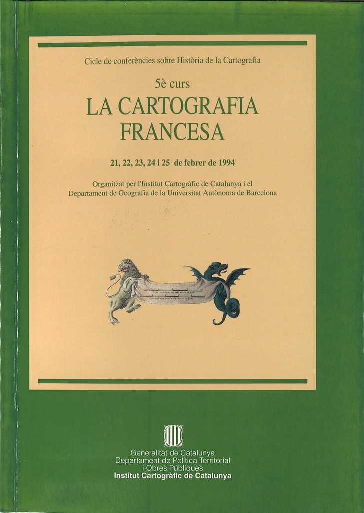
La cartografia anglesa. Cicle de conferències sobre Història de la Cartografia. 7è curs

Latest copies available

12.50 / unit(s)
Delivery weight: 535 g


Available delivery methods: Registered mail, Registered mail, Registered mail

This volume contains the lectures by Catherine Delano Smith, research fellow at the Institute of Historical Research, University of London and editor of Imago Mundi, and Roger J.P. Kain, Professor of Geography at the University of Exeter and member of the British Academy, on occasion of the celebration of the seventh workshop on the History of Cartography dedicated to the English cartography.

The topics are:

  • Maps and map history in England: approaches to the history of cartography.
  • Mapping landed properties: estate maps in medieval, renaissance and enlightenment England.
  • Mapping landed properties: enclosure mapping in the eighteenth and nineteenth centuries.
  • Mapping landed properties: tithe maps of the mid-nineteenth century: a first large-scale national survey of England and Wales?
  • Maps and the city in history: town mapping in England from the middle ages to the nineteenth century.
  • Thematic maps.
  • The Ordnance Survey: emergence of the National Mapping Agency.

By Roger J. P. Kain

  • The first English maps.
  • The shape of England: English mappaemundi and maps of England before c. 1540.
  • Maps for the monarch in the sixteenth century: maps for display and military maps.
  • Maps for government: mapping England and Wales in the sixteenth and seventeenth centuries.
  • English regional mapping in the eighteenth and early nineteenth centuries: country maps and atlases and the growth of topographical knowledge.
  • Maps for route-planning and way-finding.
  • Map collections and libraries in England and their place in the history of cartography.

By Catherine Delano Smith.

We also recommend

Cartografia de Catalunya i dels Països Catalans
9.62 / unit(s)
Delivery weight: 367 g
Cartografia Peninsular (s. VIII-XIX)
12.50 / unit(s)
Delivery weight: 532 g
La cartografia cadastral a Espanya (segles XVIII-XX)
12.50 / unit(s)
Delivery weight: 650 g

Browse this category: Books about the history of cartography

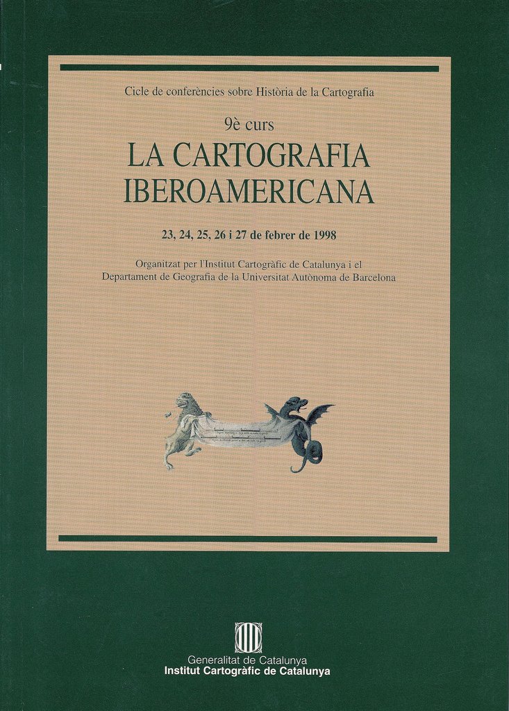
La cartografia iberoamericana. Cicle de conferències sobre Història de la Cartografia. 9è curs

Latest copies available

12.50 / unit(s)
Delivery weight: 397 g


Available delivery methods: Registered mail, Registered mail, Registered mail

This volume summarizes the lectures by M. Luisa Martin-Merás, Head of Research of the Departamento de Cartografía y Biblioteca del Museo Naval de Madrid and member of the Historic Marine Institute (CSIC), by Max Justo Guedes, Director of the Directoria do Patrimônio Histórico e Cultural da Marinha, Capitao-de-Mar-e-Guerra, and member of seventeen institutes and various national and foreign academies, and by José Ignacio González Leiva, Ph.D. in Geography from the University of Barcelona, ?? Professor of  the Instituto de Geografía and Dean of the Faculty of History, Geography and Political Science, on the occasion of the celebration of the ninth course on the history of cartography dedicated to the Latin American cartography.

We also recommend

Cartografia de Catalunya i dels Països Catalans
9.62 / unit(s)
Delivery weight: 367 g
Cartografia Peninsular (s. VIII-XIX)
12.50 / unit(s)
Delivery weight: 532 g
La cartografia cadastral a Espanya (segles XVIII-XX)
12.50 / unit(s)
Delivery weight: 650 g

Customers who bought this product also bought

Delivery weight: 483 g

Browse this category: Books about the history of cartography

La cartografia catalana. Cicle de conferències sobre història de la cartografia. 10è curs

Latest copies available

12.50 / unit(s)
Delivery weight: 483 g


Available delivery methods: Registered mail, Registered mail, Registered mail

This volume contains the lectures by Vicenç M. Rosselló Verger, Professor of Geography at the University of Valencia, Montserrat Galera Monegal, Unit Chief of the Map Library of Catalonia, Institut Cartogràfic de Catalunya and responsible for this series of lectures, M. Carme Montaner Garcia, PhD in Geography from the University of Barcelona and head of the Photo Library of the Institut Cartogràfic de Catalunya, on the occasion of the tenth course on the history of cartography dedicated to Catalan cartography

We also recommend

Cartografia de Catalunya i dels Països Catalans
9.62 / unit(s)
Delivery weight: 367 g
Cartografia Peninsular (s. VIII-XIX)
12.50 / unit(s)
Delivery weight: 532 g
La cartografia cadastral a Espanya (segles XVIII-XX)
12.50 / unit(s)
Delivery weight: 650 g

Customers who bought this product also bought

Delivery weight: 397 g

Browse this category: Books about the history of cartography
11 - 20 of 30 results