")
")
")
")
Your basket is empty.

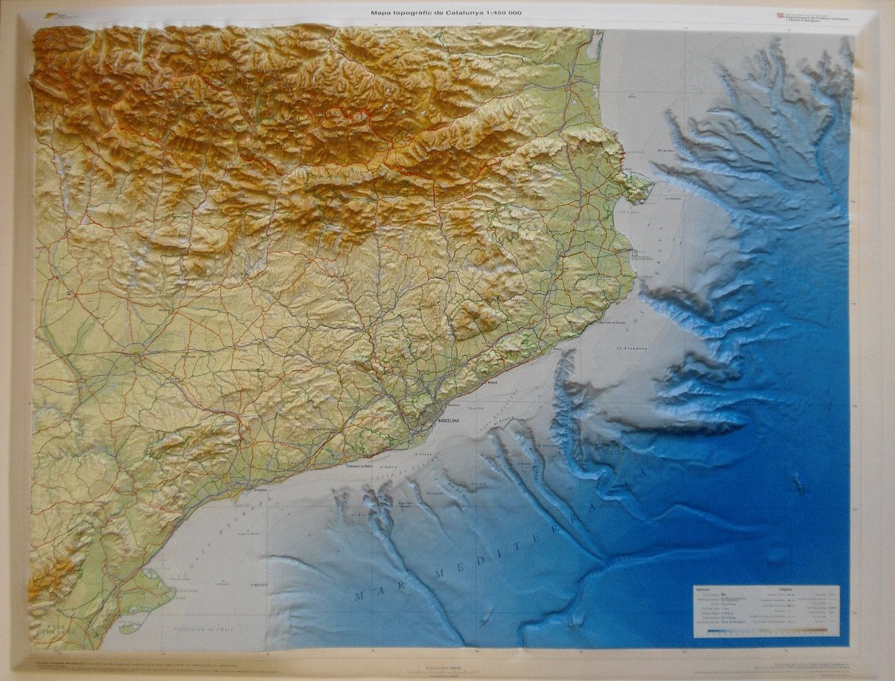
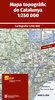
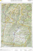
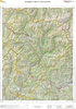
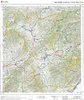
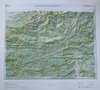
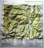
Categories Topographic maps Raised relief maps Topographic map of Catalonia 1:450,000 (raised relief map)
Topographic map of Catalonia 1:450,000 (raised relief map)
In stock
57.69 €
/ unit(s)
Delivery weight: 2,200 g
Available delivery methods: Delivery of the relief map 1:450,000, Delivery of the relief map 1:450,000 to Europe
We also recommend


Browse this category: Raised relief maps