")
")
")
")
Your basket is empty.

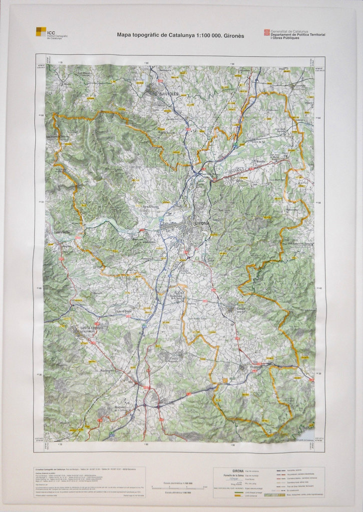
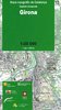
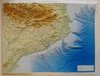
Categories Topographic maps Raised relief maps Topographic map of Catalonia 1:100,000 (raised relief map). Gironès
Topographic map of Catalonia 1:100,000 (raised relief map). Gironès
In stock
19.23 €
/ unit(s)
Delivery weight: 2,000 g
Available delivery methods: Delivery of the relief maps 1:100,000, Delivery of the relief maps 1:100,000 to Europe
We also recommend
 |
 |
Mapa per a la prevenció dels riscos geològics 1:25,000. Geotreball VI. Cassà de la Selva
9.62 €
/ unit(s)
Delivery weight: 56 g
|
 |
 |

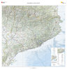
Mapa topogràfic de Catalunya 1:100,000. Pirineu Oriental, Girona, Costa Brava - 3
9.62 €
/ unit(s)
Delivery weight: 154 g
|
 |
Topographic map of Catalonia 1:250,000 (raised relief map)
96.15 €
/ unit(s)
Delivery weight: 2,800 g
|
Topographic map of Catalonia 1:450,000 (raised relief map)
57.69 €
/ unit(s)
Delivery weight: 2,200 g
|
Browse this category: Raised relief maps